Tafarn Bach houses, Charfield Hill
Introduction
The photograph on this page of Tafarn Bach houses, Charfield Hill by Jaggery as part of the Geograph project.
The Geograph project started in 2005 with the aim of publishing, organising and preserving representative images for every square kilometre of Great Britain, Ireland and the Isle of Man.

There are currently over 7.5m images from over 14,400 individuals and you can help contribute to the project by visiting https://www.geograph.org.uk
Tafarn Bach houses, Charfield Hill
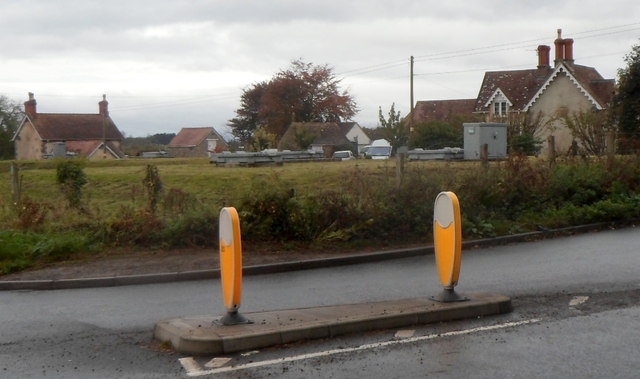
Image: © Jaggery Taken: 28 Oct 2012
Viewed across the B4509. Why does this part of South Gloucestershire, England have a Welsh name?
Images are licensed for reuse under creativecommons.org/licenses/by-sa/2.0
Image Location
Latitude
51.625719
Longitude
-2.415851