Fields behind the houses
Introduction
The photograph on this page of Fields behind the houses by Bob Harvey as part of the Geograph project.
The Geograph project started in 2005 with the aim of publishing, organising and preserving representative images for every square kilometre of Great Britain, Ireland and the Isle of Man.

There are currently over 7.5m images from over 14,400 individuals and you can help contribute to the project by visiting https://www.geograph.org.uk
Fields behind the houses
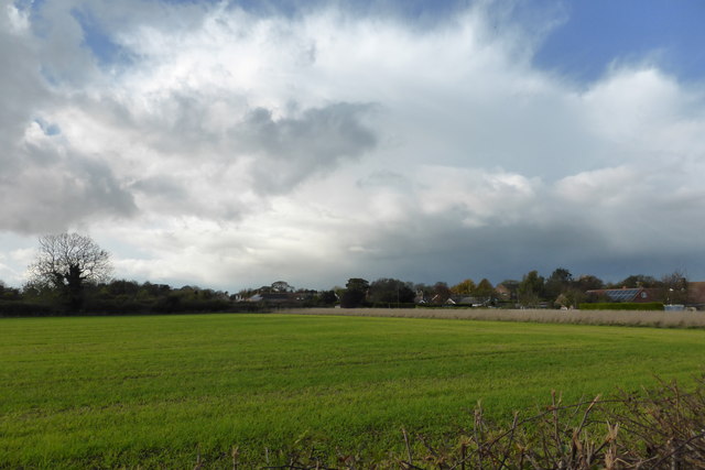
Image: © Bob Harvey Taken: 3 Nov 2013
Ingoldsby is more-or less a Ribbon development along this road from the church towards Lenton. These fields are to the south of the village.
Images are licensed for reuse under creativecommons.org/licenses/by-sa/2.0
Image Location
Latitude
52.858737
Longitude
-0.493626