Upper driveway of 'Woodeaves', Hale Barns
Introduction
The photograph on this page of Upper driveway of 'Woodeaves', Hale Barns by Anthony O'Neil as part of the Geograph project.
The Geograph project started in 2005 with the aim of publishing, organising and preserving representative images for every square kilometre of Great Britain, Ireland and the Isle of Man.

There are currently over 7.5m images from over 14,400 individuals and you can help contribute to the project by visiting https://www.geograph.org.uk
Upper driveway of 'Woodeaves', Hale Barns
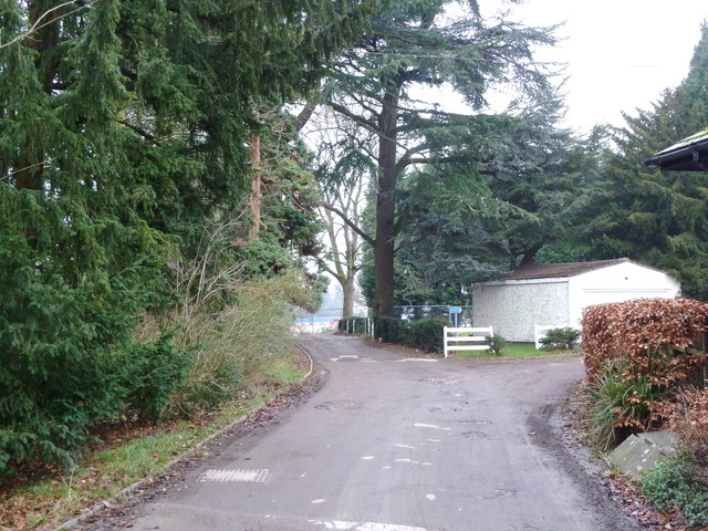
Image: © Anthony O'Neil Taken: 13 Jan 2013
To the right (unseen) is the house itself, largely unaltered, at least on the outside. Ahead, and to the left, are the vestiges of woodland and ornamental trees decimated by the development of St Ambrose College within the former Woodeaves estate. In the 1950s, there were still grassed tennis courts beyond - and enclosed by - the trees; a vegetable garden; and tilled fields, bearing root crops, bordering Broad Lane, to the west.
Images are licensed for reuse under creativecommons.org/licenses/by-sa/2.0
Image Location
Latitude
53.369894
Longitude
-2.319932