Maryburgh Roundabout
Introduction
The photograph on this page of Maryburgh Roundabout by Alpin Stewart as part of the Geograph project.
The Geograph project started in 2005 with the aim of publishing, organising and preserving representative images for every square kilometre of Great Britain, Ireland and the Isle of Man.

There are currently over 7.5m images from over 14,400 individuals and you can help contribute to the project by visiting https://www.geograph.org.uk
Maryburgh Roundabout
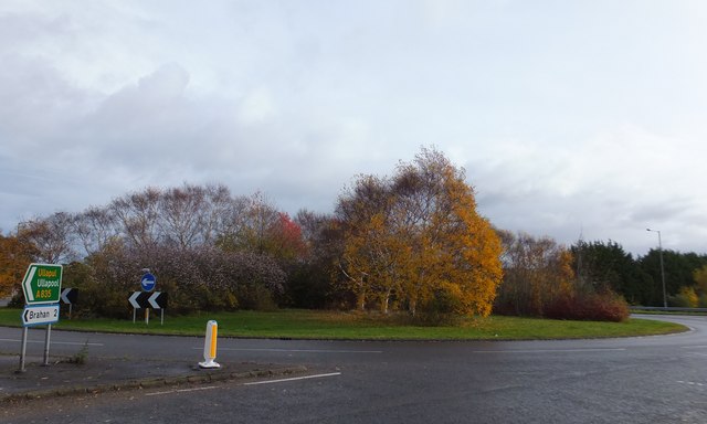
Image: © Alpin Stewart Taken: 3 Nov 2013
The Maryburgh Roundabout is the intersection between the A835 Ullapool Road (as marked on the sign) and the old A9 (now the A862) from Beauly and Muir of Ord to Dingwall.
Images are licensed for reuse under creativecommons.org/licenses/by-sa/2.0
Image Location
Latitude
57.579212
Longitude
-4.437978