Logan Primary School
Introduction
The photograph on this page of Logan Primary School by Bob Forrest as part of the Geograph project.
The Geograph project started in 2005 with the aim of publishing, organising and preserving representative images for every square kilometre of Great Britain, Ireland and the Isle of Man.

There are currently over 7.5m images from over 14,400 individuals and you can help contribute to the project by visiting https://www.geograph.org.uk
Logan Primary School
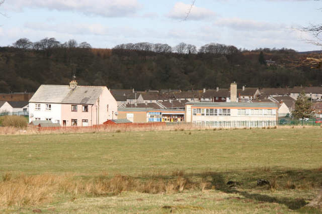
Image: © Bob Forrest Taken: 20 Mar 2007
The council housing estate that the school serves dates from the mid 20th century. The homes were built in response to the need for new housing in the Cumnock area as new industrial estates opened after World War 2 and rationalisation took place in the local coal mining industry,resulting in fewer,but larger coal mines in the Cumnock and Auchinleck areas.
Images are licensed for reuse under creativecommons.org/licenses/by-sa/2.0
Image Location
Latitude
55.45762
Longitude
-4.231029