The waterworks yard at Butterley
Introduction
The photograph on this page of The waterworks yard at Butterley by Humphrey Bolton as part of the Geograph project.
The Geograph project started in 2005 with the aim of publishing, organising and preserving representative images for every square kilometre of Great Britain, Ireland and the Isle of Man.

There are currently over 7.5m images from over 14,400 individuals and you can help contribute to the project by visiting https://www.geograph.org.uk
The waterworks yard at Butterley
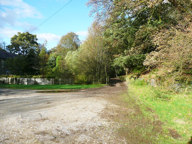
Image: © Humphrey Bolton Taken: 26 Oct 2013
The Colne Valley Circular Walk and Kirklees Way cross the yard and go down the lane through Bank Bottom Mills.
Images are licensed for reuse under creativecommons.org/licenses/by-sa/2.0
Image Location
Latitude
53.594025
Longitude
-1.929707