Approaching a road junction on Blairhall Road
Introduction
The photograph on this page of Approaching a road junction on Blairhall Road by Ann Cook as part of the Geograph project.
The Geograph project started in 2005 with the aim of publishing, organising and preserving representative images for every square kilometre of Great Britain, Ireland and the Isle of Man.

There are currently over 7.5m images from over 14,400 individuals and you can help contribute to the project by visiting https://www.geograph.org.uk
Approaching a road junction on Blairhall Road
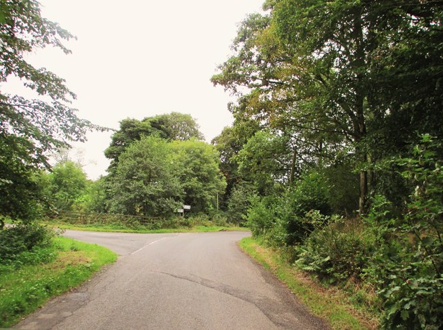
Image: © Ann Cook Taken: 17 Sep 2013
The left turning goes to Amisfield and it's right to Duncow.
Images are licensed for reuse under creativecommons.org/licenses/by-sa/2.0
Image Location


Leaflet Map data © OpenStreetMap
Latitude
55.13939
Longitude
-3.585961