Belfast Water Works access cover, Dundonald
Introduction
The photograph on this page of Belfast Water Works access cover, Dundonald by Albert Bridge as part of the Geograph project.
The Geograph project started in 2005 with the aim of publishing, organising and preserving representative images for every square kilometre of Great Britain, Ireland and the Isle of Man.

There are currently over 7.5m images from over 14,400 individuals and you can help contribute to the project by visiting https://www.geograph.org.uk
Belfast Water Works access cover, Dundonald
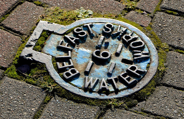
Image: © Albert Bridge Taken: 1 Nov 2013
Bearing in mind that the Belfast Water Commissioners were abolished more than 40 years ago this cover, at the Upper Newtownards Road end of St John’s Wood Park, is far from smooth and still very legible.
Images are licensed for reuse under creativecommons.org/licenses/by-sa/2.0
Image Location
Latitude
54.594679
Longitude
-5.805643