Island Road, Wall End
Introduction
The photograph on this page of Island Road, Wall End by David Dixon as part of the Geograph project.
The Geograph project started in 2005 with the aim of publishing, organising and preserving representative images for every square kilometre of Great Britain, Ireland and the Isle of Man.

There are currently over 7.5m images from over 14,400 individuals and you can help contribute to the project by visiting https://www.geograph.org.uk
Island Road, Wall End
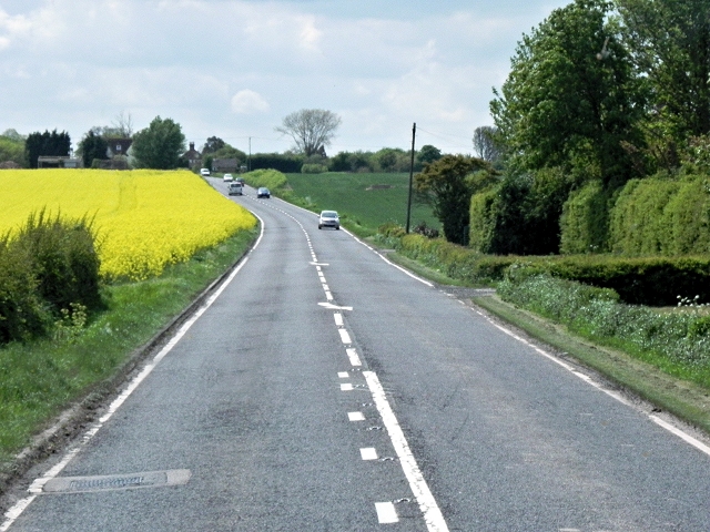
Image: © David Dixon Taken: 16 May 2013
The level pasture fields on the western and southern sides of Sarre are intersected by many drainage channels of the former Wantsum Channel. The A28 road crosses this drained land on a low causeway known as Sarre Wall.
Images are licensed for reuse under creativecommons.org/licenses/by-sa/2.0
Image Location
Latitude
51.32844
Longitude
1.213905