Fisher's Bridge, traffic barrier and temporary parapet
Introduction
The photograph on this page of Fisher's Bridge, traffic barrier and temporary parapet by Robin Stott as part of the Geograph project.
The Geograph project started in 2005 with the aim of publishing, organising and preserving representative images for every square kilometre of Great Britain, Ireland and the Isle of Man.

There are currently over 7.5m images from over 14,400 individuals and you can help contribute to the project by visiting https://www.geograph.org.uk
Fisher's Bridge, traffic barrier and temporary parapet
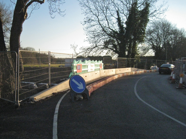
Image: © Robin Stott Taken: 1 Dec 2012
Single-file traffic operated over the bridge while contractors constructed a new culvert to alleviate flooding. Two wider views are Image and Image
Images are licensed for reuse under creativecommons.org/licenses/by-sa/2.0
Image Location
Latitude
52.269961
Longitude
-1.597837