Newton Creek
Introduction
The photograph on this page of Newton Creek by jeff collins as part of the Geograph project.
The Geograph project started in 2005 with the aim of publishing, organising and preserving representative images for every square kilometre of Great Britain, Ireland and the Isle of Man.

There are currently over 7.5m images from over 14,400 individuals and you can help contribute to the project by visiting https://www.geograph.org.uk
Newton Creek
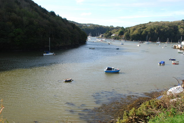
Image: © jeff collins Taken: 1 Nov 2013
Here Newton Creek joins the River Yealm at a spot known as Yealm Pool most of which is in SX5347. On the left is Ferry Wood.
Images are licensed for reuse under creativecommons.org/licenses/by-sa/2.0
Image Location
Latitude
50.313226
Longitude
-4.049675