A670 Wool Road, Dobcross
Introduction
The photograph on this page of A670 Wool Road, Dobcross by John Topping as part of the Geograph project.
The Geograph project started in 2005 with the aim of publishing, organising and preserving representative images for every square kilometre of Great Britain, Ireland and the Isle of Man.

There are currently over 7.5m images from over 14,400 individuals and you can help contribute to the project by visiting https://www.geograph.org.uk
A670 Wool Road, Dobcross
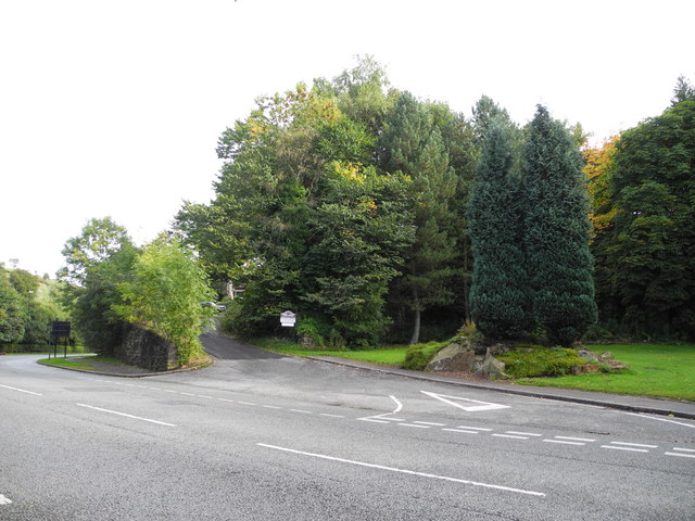
Image: © John Topping Taken: 5 Oct 2013
At the junction with the former station approach road, which lead to Uppermill station (closed during the 1960's).
Images are licensed for reuse under creativecommons.org/licenses/by-sa/2.0
Image Location


Leaflet Map data © OpenStreetMap
Latitude
53.554676
Longitude
-2.008566