Thornliebank Community Library
Introduction
The photograph on this page of Thornliebank Community Library by G Laird as part of the Geograph project.
The Geograph project started in 2005 with the aim of publishing, organising and preserving representative images for every square kilometre of Great Britain, Ireland and the Isle of Man.

There are currently over 7.5m images from over 14,400 individuals and you can help contribute to the project by visiting https://www.geograph.org.uk
Thornliebank Community Library
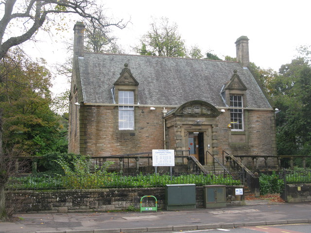
Image: © G Laird Taken: 30 Oct 2013
At the point where Main Street (B769) in Thornliebank has become Spiersbridge Road, still the B769.
Images are licensed for reuse under creativecommons.org/licenses/by-sa/2.0
Image Location
Latitude
55.805089
Longitude
-4.318213