Across The Nith
Introduction
The photograph on this page of Across The Nith by Mary and Angus Hogg as part of the Geograph project.
The Geograph project started in 2005 with the aim of publishing, organising and preserving representative images for every square kilometre of Great Britain, Ireland and the Isle of Man.

There are currently over 7.5m images from over 14,400 individuals and you can help contribute to the project by visiting https://www.geograph.org.uk
Across The Nith
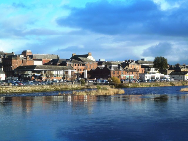
Image: © Mary and Angus Hogg Taken: 29 Oct 2013
Looking across the River Nith at the Caul towards White Sands on the other side. The Nith is tidal as far as the Caul, producing a high flood risk to the streets and properties near the river.
Images are licensed for reuse under creativecommons.org/licenses/by-sa/2.0
Image Location
Latitude
55.06738
Longitude
-3.615059