Elevated footway at the southwest end of High Street
Introduction
The photograph on this page of Elevated footway at the southwest end of High Street by Robin Stott as part of the Geograph project.
The Geograph project started in 2005 with the aim of publishing, organising and preserving representative images for every square kilometre of Great Britain, Ireland and the Isle of Man.

There are currently over 7.5m images from over 14,400 individuals and you can help contribute to the project by visiting https://www.geograph.org.uk
Elevated footway at the southwest end of High Street
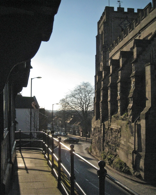
Image: © Robin Stott Taken: 1 Dec 2012
It returns to ground level round the corner in Leycester Place. On the right is St James's Chapel above the Westgate, with West Street beyond.
Images are licensed for reuse under creativecommons.org/licenses/by-sa/2.0
Image Location


Leaflet Map data © OpenStreetMap
Latitude
52.279735
Longitude
-1.59042