Petticoat Lane and farm
Introduction
The photograph on this page of Petticoat Lane and farm by Andrew Hill as part of the Geograph project.
The Geograph project started in 2005 with the aim of publishing, organising and preserving representative images for every square kilometre of Great Britain, Ireland and the Isle of Man.

There are currently over 7.5m images from over 14,400 individuals and you can help contribute to the project by visiting https://www.geograph.org.uk
Petticoat Lane and farm
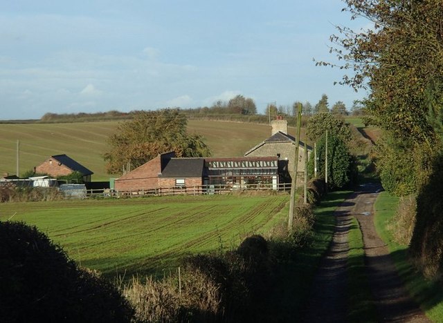
Image: © Andrew Hill Taken: 28 Oct 2013
View along the private farm track in an area of expansive arable fields.
Images are licensed for reuse under creativecommons.org/licenses/by-sa/2.0
Image Location
Latitude
53.237259
Longitude
-1.262658