Revised pedestrian route
Introduction
The photograph on this page of Revised pedestrian route by Alan Murray-Rust as part of the Geograph project.
The Geograph project started in 2005 with the aim of publishing, organising and preserving representative images for every square kilometre of Great Britain, Ireland and the Isle of Man.

There are currently over 7.5m images from over 14,400 individuals and you can help contribute to the project by visiting https://www.geograph.org.uk
Revised pedestrian route
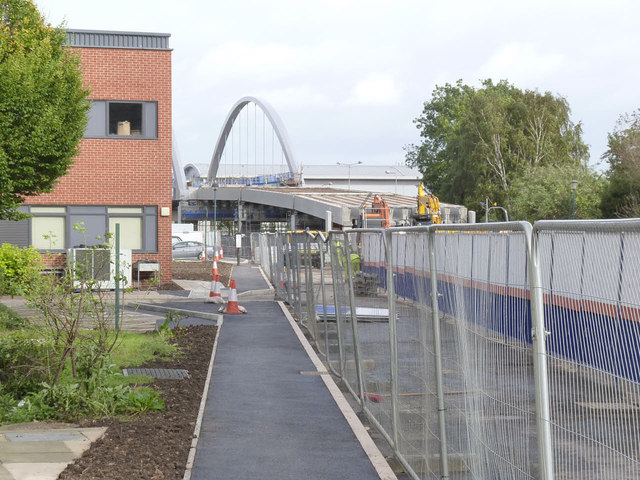
Image: © Alan Murray-Rust Taken: 27 Oct 2013
The old footway on the south side of Science Road (alongside the trees on the right) has now been closed, and this new footpath has been provided instead.
Images are licensed for reuse under creativecommons.org/licenses/by-sa/2.0
Image Location
Latitude
52.94048
Longitude
-1.186912