Bedminster Bridge
Introduction
The photograph on this page of Bedminster Bridge by Chris Heaton as part of the Geograph project.
The Geograph project started in 2005 with the aim of publishing, organising and preserving representative images for every square kilometre of Great Britain, Ireland and the Isle of Man.

There are currently over 7.5m images from over 14,400 individuals and you can help contribute to the project by visiting https://www.geograph.org.uk
Bedminster Bridge
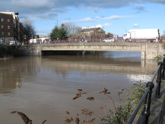
Image: © Chris Heaton Taken: 20 Mar 2007
Looking downstream. Zion House can be seen in the background. Taken at high tide on one of the highest tides of the year (an equinoctial spring tide).
Images are licensed for reuse under creativecommons.org/licenses/by-sa/2.0
Image Location
Latitude
51.445768
Longitude
-2.590769