Site of former Killywhan station
Introduction
The photograph on this page of Site of former Killywhan station by Ben Brooksbank as part of the Geograph project.
The Geograph project started in 2005 with the aim of publishing, organising and preserving representative images for every square kilometre of Great Britain, Ireland and the Isle of Man.

There are currently over 7.5m images from over 14,400 individuals and you can help contribute to the project by visiting https://www.geograph.org.uk
Site of former Killywhan station
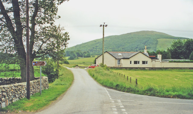
Image: © Ben Brooksbank Taken: 21 Jun 2000
View SE: until 14/6/65 the main line (Carlisle) - Dumfries (to left) - Castle Douglas - Stranraer crossed here, Killwhan station (on the right) having been closed 3/8/59. Behind is Lotus Hill (1,000 ft.).
Images are licensed for reuse under creativecommons.org/licenses/by-sa/2.0
Image Location
Latitude
55.00651
Longitude
-3.740678