Chapel, dovecote and mill, Fenny Bridges
Introduction
The photograph on this page of Chapel, dovecote and mill, Fenny Bridges by Derek Harper as part of the Geograph project.
The Geograph project started in 2005 with the aim of publishing, organising and preserving representative images for every square kilometre of Great Britain, Ireland and the Isle of Man.

There are currently over 7.5m images from over 14,400 individuals and you can help contribute to the project by visiting https://www.geograph.org.uk
Chapel, dovecote and mill, Fenny Bridges
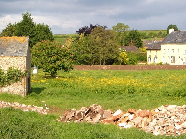
Image: © Derek Harper Taken: 23 May 2006
The Chapel http://list.english-heritage.org.uk/resultsingle.aspx?uid=1309665&searchtype=mapsearch and dovecote are shown in Image, Feniton Mill in Image Between them is a meadow rich in buttercups with a pink-flowered horse chestnut.
Images are licensed for reuse under creativecommons.org/licenses/by-sa/2.0
Image Location
Latitude
50.779911
Longitude
-3.258353