Packmore Street, Warwick, looking west
Introduction
The photograph on this page of Packmore Street, Warwick, looking west by Robin Stott as part of the Geograph project.
The Geograph project started in 2005 with the aim of publishing, organising and preserving representative images for every square kilometre of Great Britain, Ireland and the Isle of Man.

There are currently over 7.5m images from over 14,400 individuals and you can help contribute to the project by visiting https://www.geograph.org.uk
Packmore Street, Warwick, looking west
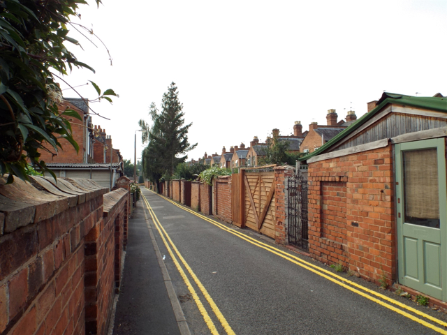
Image: © Robin Stott Taken: 28 Aug 2013
An odd street with house frontages on the south side and the rear garden boundaries of Paradise Street on the north side.
Images are licensed for reuse under creativecommons.org/licenses/by-sa/2.0
Image Location
Latitude
52.287617
Longitude
-1.581844