Crab & Winkle Way, Canterbury
Introduction
The photograph on this page of Crab & Winkle Way, Canterbury by Malc McDonald as part of the Geograph project.
The Geograph project started in 2005 with the aim of publishing, organising and preserving representative images for every square kilometre of Great Britain, Ireland and the Isle of Man.

There are currently over 7.5m images from over 14,400 individuals and you can help contribute to the project by visiting https://www.geograph.org.uk
Crab & Winkle Way, Canterbury
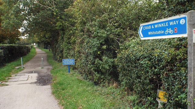
Image: © Malc McDonald Taken: 26 Oct 2013
The Crab & Winkle Way is a cycle route which follows the path of an old railway line between Canterbury and Whitstable. It forms part of National Cycle Network route 1, which stretches from Dover to John o'Groats.
Images are licensed for reuse under creativecommons.org/licenses/by-sa/2.0
Image Location
Latitude
51.294386
Longitude
1.054719