Station Road, Flax Bourton
Introduction
The photograph on this page of Station Road, Flax Bourton by Jaggery as part of the Geograph project.
The Geograph project started in 2005 with the aim of publishing, organising and preserving representative images for every square kilometre of Great Britain, Ireland and the Isle of Man.

There are currently over 7.5m images from over 14,400 individuals and you can help contribute to the project by visiting https://www.geograph.org.uk
Station Road, Flax Bourton
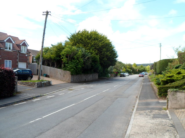
Image: © Jaggery Taken: 13 Jul 2012
Looking north from the Main Road end. For more than a century, the village had a railway station. The first one opened in 1860. It was replaced by a larger station in 1893. Passenger services in this area ceased in December 1963.
Images are licensed for reuse under creativecommons.org/licenses/by-sa/2.0
Image Location
Latitude
51.422383
Longitude
-2.705811