Left turn for Station Road and the C of E school, Flax Bourton
Introduction
The photograph on this page of Left turn for Station Road and the C of E school, Flax Bourton by Jaggery as part of the Geograph project.
The Geograph project started in 2005 with the aim of publishing, organising and preserving representative images for every square kilometre of Great Britain, Ireland and the Isle of Man.

There are currently over 7.5m images from over 14,400 individuals and you can help contribute to the project by visiting https://www.geograph.org.uk
Left turn for Station Road and the C of E school, Flax Bourton
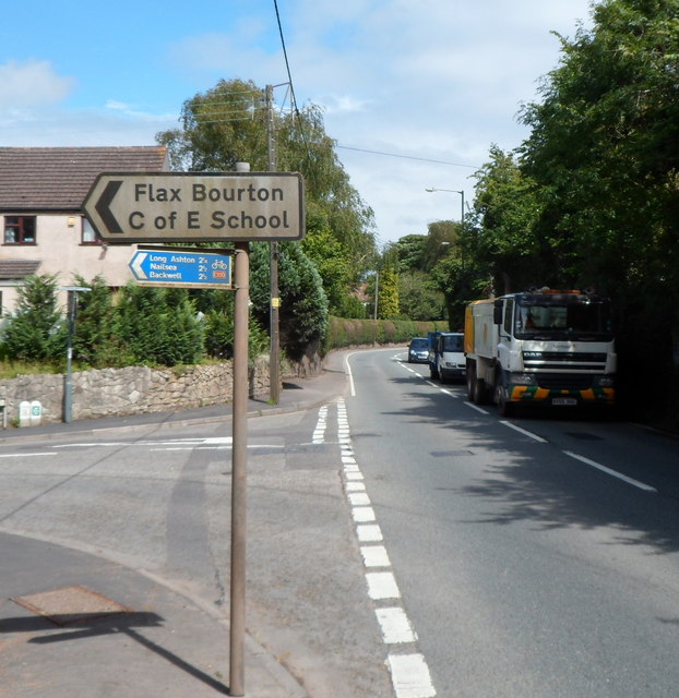
Image: © Jaggery Taken: 13 Jul 2012
Viewed along the A370 Main Road. The blue sign pointing left shows cycle route distances. It's 2¼ (miles) to Long Ashton, 2½ to Nailsea and to Backwell.
Images are licensed for reuse under creativecommons.org/licenses/by-sa/2.0
Image Location
Latitude
51.421307
Longitude
-2.705219