Afon Afan below a weir in the NE of Cwmavon
Introduction
The photograph on this page of Afon Afan below a weir in the NE of Cwmavon by Jaggery as part of the Geograph project.
The Geograph project started in 2005 with the aim of publishing, organising and preserving representative images for every square kilometre of Great Britain, Ireland and the Isle of Man.

There are currently over 7.5m images from over 14,400 individuals and you can help contribute to the project by visiting https://www.geograph.org.uk
Afon Afan below a weir in the NE of Cwmavon
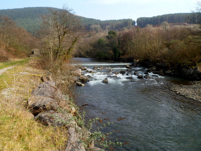
Image: © Jaggery Taken: 2 Mar 2012
The river flows over this http://www.geograph.org.uk/photo/3715555 weir. On the left near the weir is a water monitoring station. http://www.geograph.org.uk/photo/3715560
Images are licensed for reuse under creativecommons.org/licenses/by-sa/2.0
Image Location


Leaflet Map data © OpenStreetMap
Latitude
51.622342
Longitude
-3.747987