Cwmavon & District Boys Club, Cwmavon
Introduction
The photograph on this page of Cwmavon & District Boys Club, Cwmavon by Jaggery as part of the Geograph project.
The Geograph project started in 2005 with the aim of publishing, organising and preserving representative images for every square kilometre of Great Britain, Ireland and the Isle of Man.

There are currently over 7.5m images from over 14,400 individuals and you can help contribute to the project by visiting https://www.geograph.org.uk
Cwmavon & District Boys Club, Cwmavon
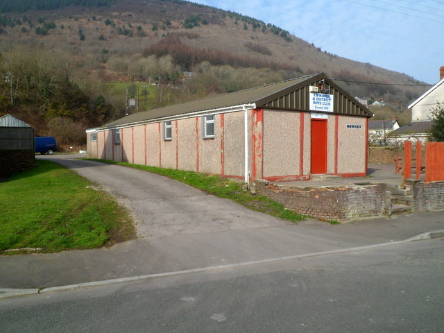
Image: © Jaggery Taken: 2 Mar 2012
The building extends for 18 metres (about 60 feet) on the north side of Heol Taliesin near the B4286 Salem Road junction. Under the name of the club above the door is Founded 1960.
Images are licensed for reuse under creativecommons.org/licenses/by-sa/2.0
Image Location


Leaflet Map data © OpenStreetMap
Latitude
51.621207
Longitude
-3.751699