Victoria Road at the junction with Victoria Street
Introduction
The photograph on this page of Victoria Road at the junction with Victoria Street by Stuart Logan as part of the Geograph project.
The Geograph project started in 2005 with the aim of publishing, organising and preserving representative images for every square kilometre of Great Britain, Ireland and the Isle of Man.

There are currently over 7.5m images from over 14,400 individuals and you can help contribute to the project by visiting https://www.geograph.org.uk
Victoria Road at the junction with Victoria Street
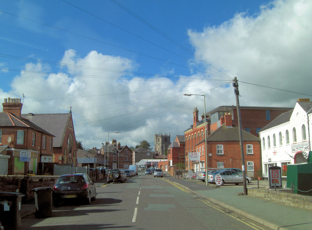
Image: © Stuart Logan Taken: 19 Sep 2013
In the distance the Church of St. Oswald is a Grade II* listed building. Nothing in the foreground is of listed status.
Images are licensed for reuse under creativecommons.org/licenses/by-sa/2.0
Image Location
Latitude
52.855772
Longitude
-3.055728