Arkleston Junction
Introduction
The photograph on this page of Arkleston Junction by Lairich Rig as part of the Geograph project.
The Geograph project started in 2005 with the aim of publishing, organising and preserving representative images for every square kilometre of Great Britain, Ireland and the Isle of Man.

There are currently over 7.5m images from over 14,400 individuals and you can help contribute to the project by visiting https://www.geograph.org.uk
Arkleston Junction
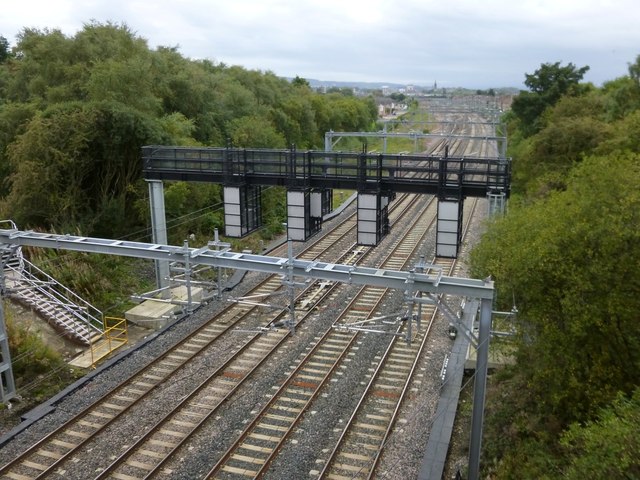
Image: © Lairich Rig Taken: 7 Oct 2013
This view is very similar to another contributor's earlier image, but a few new structures have appeared: Image [According to my GPS record for this image, I was located exactly, though not intentionally, on the OS grid line.]
Images are licensed for reuse under creativecommons.org/licenses/by-sa/2.0
Image Location
Latitude
55.854379
Longitude
-4.400561