Approaching storm
Introduction
The photograph on this page of Approaching storm by Robert Ashby as part of the Geograph project.
The Geograph project started in 2005 with the aim of publishing, organising and preserving representative images for every square kilometre of Great Britain, Ireland and the Isle of Man.

There are currently over 7.5m images from over 14,400 individuals and you can help contribute to the project by visiting https://www.geograph.org.uk
Approaching storm
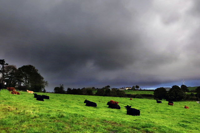
Image: © Robert Ashby Taken: 20 Oct 2013
Cattle chew the cud in a field beside Cauley's Pipe Road apparently unconcerned by the gathering storm clouds.
Images are licensed for reuse under creativecommons.org/licenses/by-sa/2.0
Image Location
Latitude
54.316398
Longitude
-5.911778