Belfast City Centre - Residential Housing along East Bank of River Lagan
Introduction
The photograph on this page of Belfast City Centre - Residential Housing along East Bank of River Lagan by Joseph Mischyshyn as part of the Geograph project.
The Geograph project started in 2005 with the aim of publishing, organising and preserving representative images for every square kilometre of Great Britain, Ireland and the Isle of Man.

There are currently over 7.5m images from over 14,400 individuals and you can help contribute to the project by visiting https://www.geograph.org.uk
Belfast City Centre - Residential Housing along East Bank of River Lagan
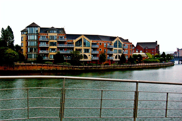
Image: © Joseph Mischyshyn Taken: 23 Sep 2013
Location is just south of Queens Bridge. View is to southeast from west end of Queens Bridge.
Images are licensed for reuse under creativecommons.org/licenses/by-sa/2.0
Image Location
Latitude
54.599116
Longitude
-5.919459