Willesden Green, Assarts Farm (2)
Introduction
The photograph on this page of Willesden Green, Assarts Farm (2) by Richard Vince as part of the Geograph project.
The Geograph project started in 2005 with the aim of publishing, organising and preserving representative images for every square kilometre of Great Britain, Ireland and the Isle of Man.

There are currently over 7.5m images from over 14,400 individuals and you can help contribute to the project by visiting https://www.geograph.org.uk
Willesden Green, Assarts Farm (2)
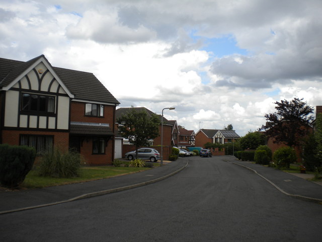
Image: © Richard Vince Taken: 28 Jul 2013
A cul de sac, named (like most roads on this estate) after stations on the London Underground.
Images are licensed for reuse under creativecommons.org/licenses/by-sa/2.0
Image Location
Latitude
52.982946
Longitude
-1.232885