The start of Glenoran Road
Introduction
The photograph on this page of The start of Glenoran Road by Lairich Rig as part of the Geograph project.
The Geograph project started in 2005 with the aim of publishing, organising and preserving representative images for every square kilometre of Great Britain, Ireland and the Isle of Man.

There are currently over 7.5m images from over 14,400 individuals and you can help contribute to the project by visiting https://www.geograph.org.uk
The start of Glenoran Road
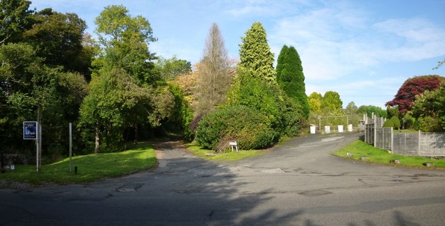
Image: © Lairich Rig Taken: 28 Sep 2013
Just left of centre, Glenoran Road branches off from Rhu Road Higher (which runs from left to right in the foreground). Not far ahead, in the shade of the trees, Mill Lane in turn branches off from Glenoran Road. Glenoran Road used to lead to a garden centre (which was latterly a Dobbies); the centre closed in 2005, and the land was sold in 2007.
Images are licensed for reuse under creativecommons.org/licenses/by-sa/2.0
Image Location
Latitude
56.012707
Longitude
-4.75871