Coastal Pastures
Introduction
The photograph on this page of Coastal Pastures by Tony Atkin as part of the Geograph project.
The Geograph project started in 2005 with the aim of publishing, organising and preserving representative images for every square kilometre of Great Britain, Ireland and the Isle of Man.

There are currently over 7.5m images from over 14,400 individuals and you can help contribute to the project by visiting https://www.geograph.org.uk
Coastal Pastures
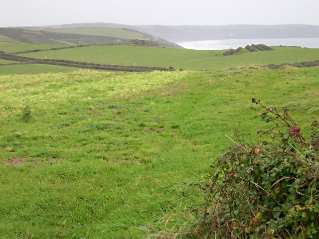
Image: © Tony Atkin Taken: 6 Nov 2005
It is a typically damp November day on the farmland above Whitsand Bay. The coast road is marked by the double hedge line.
Images are licensed for reuse under creativecommons.org/licenses/by-sa/2.0
Image Location


Leaflet Map data © OpenStreetMap
Latitude
50.359857
Longitude
-4.283956