Ysgoldy, Beaumaris
Introduction
The photograph on this page of Ysgoldy, Beaumaris by Jaggery as part of the Geograph project.
The Geograph project started in 2005 with the aim of publishing, organising and preserving representative images for every square kilometre of Great Britain, Ireland and the Isle of Man.

There are currently over 7.5m images from over 14,400 individuals and you can help contribute to the project by visiting https://www.geograph.org.uk
Ysgoldy, Beaumaris
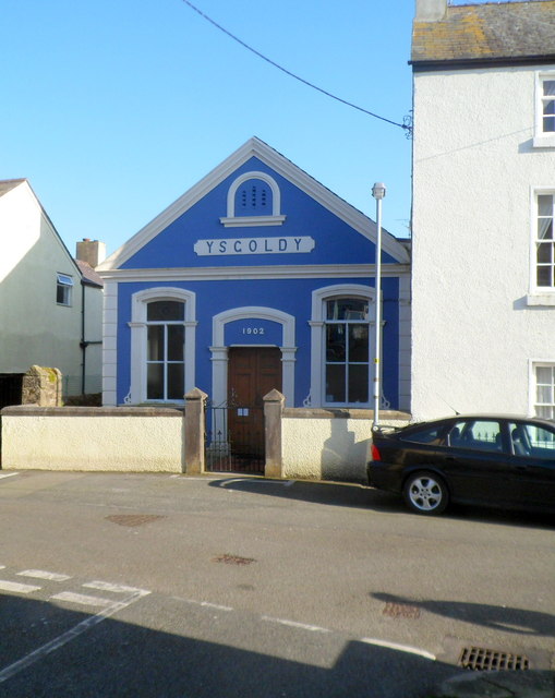
Image: © Jaggery Taken: 27 Mar 2012
View from Gaol Street. From a distance, the blue building in Rosemary Lane looked like a chapel. Ysgoldy is Welsh for schoolhouse, though I was half right, as Ysgoldy was built in 1902 as a Calvinistic Methodist Sunday School.
Images are licensed for reuse under creativecommons.org/licenses/by-sa/2.0
Image Location
Latitude
53.262745
Longitude
-4.095012