Acrefair Bridge
Introduction
The photograph on this page of Acrefair Bridge by Geraint Roberts as part of the Geograph project.
The Geograph project started in 2005 with the aim of publishing, organising and preserving representative images for every square kilometre of Great Britain, Ireland and the Isle of Man.

There are currently over 7.5m images from over 14,400 individuals and you can help contribute to the project by visiting https://www.geograph.org.uk
Acrefair Bridge
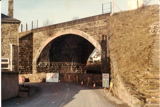
Image: © Geraint Roberts Taken: 25 Feb 1979
Taken shortly before demolition, the steps leading up to the railway station, just visible on the right.
Images are licensed for reuse under creativecommons.org/licenses/by-sa/2.0
Image Location
Latitude
52.980456
Longitude
-3.076192