Camelon railway station, Falkirk, Stirlingshire, 2010
Introduction
The photograph on this page of Camelon railway station, Falkirk, Stirlingshire, 2010 by Nigel Thompson as part of the Geograph project.
The Geograph project started in 2005 with the aim of publishing, organising and preserving representative images for every square kilometre of Great Britain, Ireland and the Isle of Man.

There are currently over 7.5m images from over 14,400 individuals and you can help contribute to the project by visiting https://www.geograph.org.uk
Camelon railway station, Falkirk, Stirlingshire, 2010
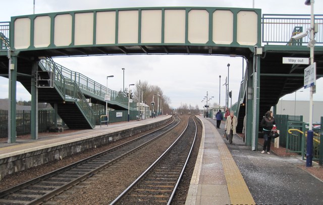
Image: © Nigel Thompson Taken: 23 Feb 2010
Opened in 1994 by British Rail on the lines from Edinburgh to Stirling and Cumbernauld. View east towards Falkirk Grahamston and Edinburgh, some 8 years before the line was electrified. For an updated image taken from a similar position in 2018, see Image The island platform of the original Falkirk Camelon station (1850-1967) was where the lines diverge in the distance.
Images are licensed for reuse under creativecommons.org/licenses/by-sa/2.0
Image Location
Latitude
56.006173
Longitude
-3.81809