Methodist Church from Manor Lane
Introduction
The photograph on this page of Methodist Church from Manor Lane by Roger Templeman as part of the Geograph project.
The Geograph project started in 2005 with the aim of publishing, organising and preserving representative images for every square kilometre of Great Britain, Ireland and the Isle of Man.

There are currently over 7.5m images from over 14,400 individuals and you can help contribute to the project by visiting https://www.geograph.org.uk
Methodist Church from Manor Lane
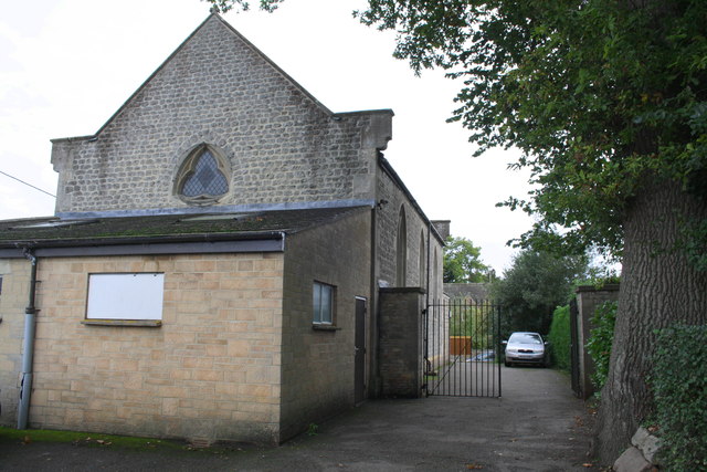
Image: © Roger Templeman Taken: 18 Oct 2013
The recent rear extension has been obliterated an Ordnance Survey benchmark on the NW corner of the church. See http://www.bench-marks.org.uk/bm56172 for description of the benchmark on the Bench Mark Database
Images are licensed for reuse under creativecommons.org/licenses/by-sa/2.0
Image Location
Latitude
51.598262
Longitude
-1.656779