Chapel Row, Rainham
Introduction
The photograph on this page of Chapel Row, Rainham by Chris Whippet as part of the Geograph project.
The Geograph project started in 2005 with the aim of publishing, organising and preserving representative images for every square kilometre of Great Britain, Ireland and the Isle of Man.

There are currently over 7.5m images from over 14,400 individuals and you can help contribute to the project by visiting https://www.geograph.org.uk
Chapel Row, Rainham
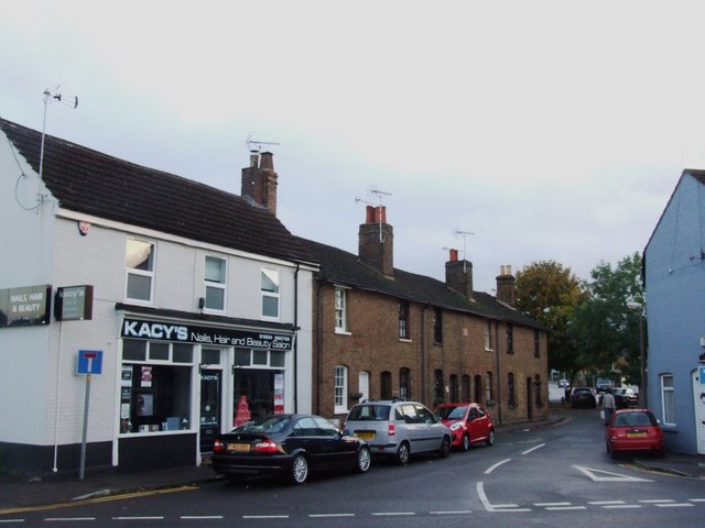
Image: © Chris Whippet Taken: 19 Oct 2013
This was originally the very narrow entrance to Miers Court Road before being by-passed around 1980.
Images are licensed for reuse under creativecommons.org/licenses/by-sa/2.0
Image Location


Leaflet Map data © OpenStreetMap
Latitude
51.361795
Longitude
0.614701