Old Gloucester Road
Introduction
The photograph on this page of Old Gloucester Road by Derek Harper as part of the Geograph project.
The Geograph project started in 2005 with the aim of publishing, organising and preserving representative images for every square kilometre of Great Britain, Ireland and the Isle of Man.

There are currently over 7.5m images from over 14,400 individuals and you can help contribute to the project by visiting https://www.geograph.org.uk
Old Gloucester Road
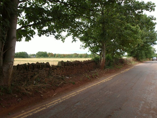
Image: © Derek Harper Taken: 7 Sep 2013
Now quite a busy lane because of a link to a bridge beneath the M32 (just visible across the fields to the left), this no longer links to Hambrook, and it must be a very long time since it was the main road to Gloucester, as what is now the B4058 to the east appears as a major road on the oldest OS maps I can trace. The light is rather unpleasant; it was sunny but is overcast with white cloud.
Images are licensed for reuse under creativecommons.org/licenses/by-sa/2.0
Image Location
Latitude
51.500202
Longitude
-2.526933