Acrefair Station old track bed
Introduction
The photograph on this page of Acrefair Station old track bed by Geraint Roberts as part of the Geograph project.
The Geograph project started in 2005 with the aim of publishing, organising and preserving representative images for every square kilometre of Great Britain, Ireland and the Isle of Man.

There are currently over 7.5m images from over 14,400 individuals and you can help contribute to the project by visiting https://www.geograph.org.uk
Acrefair Station old track bed
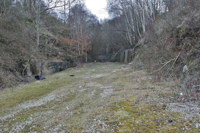
Image: © Geraint Roberts Taken: 24 Feb 2012
Looking towards the Ruabon end through the cut. The iron foot bridge from Cae Coch to Coed Richard is just visible through the trees.
Images are licensed for reuse under creativecommons.org/licenses/by-sa/2.0
Image Location
Latitude
52.979047
Longitude
-3.07288