Little Hor
Introduction
The photograph on this page of Little Hor by Simon Carey as part of the Geograph project.
The Geograph project started in 2005 with the aim of publishing, organising and preserving representative images for every square kilometre of Great Britain, Ireland and the Isle of Man.

There are currently over 7.5m images from over 14,400 individuals and you can help contribute to the project by visiting https://www.geograph.org.uk
Little Hor
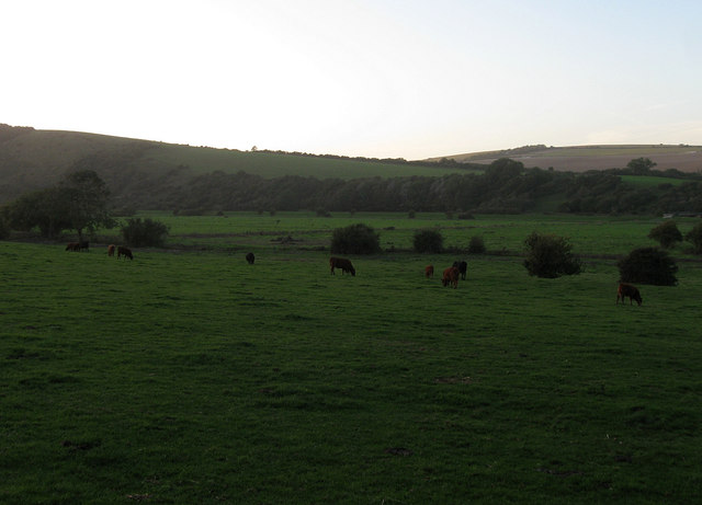
Image: © Simon Carey Taken: 17 Oct 2013
The name of the field according to Lullington's 1845 tithe map. I think there may be a transcription error here as the adjacent field to the south is Image and whoever was reading the original manuscript has somehow mistaken an 'e' for an 'r'. However, without seeing the original apportionment I am currently unable to confirm this supposition. The bushes beyond the cows mark the boundary between this detached portion of Lullington and Alfriston beyond and is possibly an old course of the Cuckmere River which sometime in the past has shifted a little to the north. On the far side of the valley is the northern slope of High and Over.
Images are licensed for reuse under creativecommons.org/licenses/by-sa/2.0
Image Location
Latitude
50.789872
Longitude
0.152147