Back Burn, Milnathort
Introduction
The photograph on this page of Back Burn, Milnathort by Richard Webb as part of the Geograph project.
The Geograph project started in 2005 with the aim of publishing, organising and preserving representative images for every square kilometre of Great Britain, Ireland and the Isle of Man.

There are currently over 7.5m images from over 14,400 individuals and you can help contribute to the project by visiting https://www.geograph.org.uk
Back Burn, Milnathort
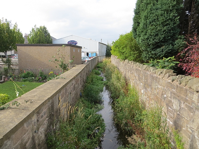
Image: © Richard Webb Taken: 1 Oct 2013
A small burn, but notorious for flash flooding Milnathort on several occasions. I know of at least one person who left due to this. Some locals blame the construction of the M90, and say that flooding was less frequent before the motorway.
Images are licensed for reuse under creativecommons.org/licenses/by-sa/2.0
Image Location
Latitude
56.226957
Longitude
-3.420594