The Throp, Cumbria
Introduction
The photograph on this page of The Throp, Cumbria by AlastairG as part of the Geograph project.
The Geograph project started in 2005 with the aim of publishing, organising and preserving representative images for every square kilometre of Great Britain, Ireland and the Isle of Man.

There are currently over 7.5m images from over 14,400 individuals and you can help contribute to the project by visiting https://www.geograph.org.uk
The Throp, Cumbria
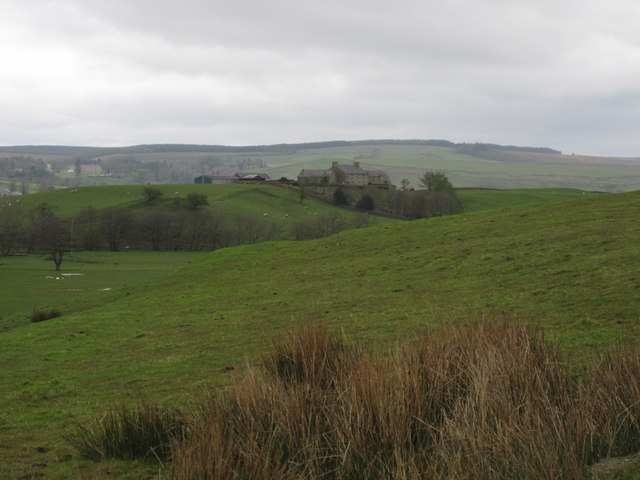
Image: © AlastairG Taken: 26 Apr 2012
The Throp seen from Shawfielf land. The Throp took over some of Shawfield land when it was split.
Images are licensed for reuse under creativecommons.org/licenses/by-sa/2.0
Image Location
Latitude
54.983867
Longitude
-2.58329