Derelict buildings, Scocles Farm, Scocles Road
Introduction
The photograph on this page of Derelict buildings, Scocles Farm, Scocles Road by John Baker as part of the Geograph project.
The Geograph project started in 2005 with the aim of publishing, organising and preserving representative images for every square kilometre of Great Britain, Ireland and the Isle of Man.

There are currently over 7.5m images from over 14,400 individuals and you can help contribute to the project by visiting https://www.geograph.org.uk
Derelict buildings, Scocles Farm, Scocles Road
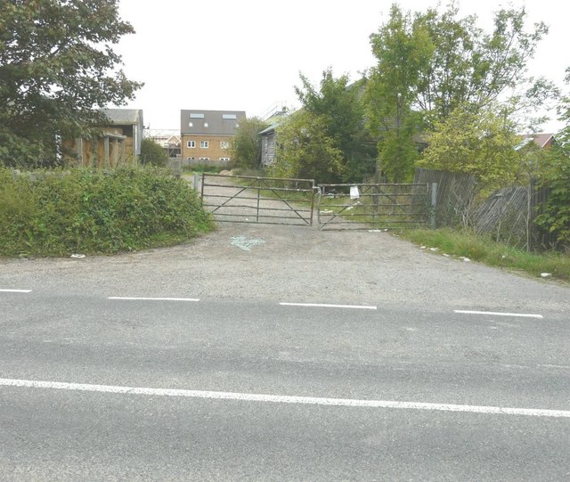
Image: © John Baker Taken: 29 Sep 2013
A planning application (seen here attached to the gate), reference SW/12/1311, was made through Swale Borough Council for “redevelopment of redundant farm buildings and farmyard to provide 21 dwellings including improvement of existing vehicular access”
Images are licensed for reuse under creativecommons.org/licenses/by-sa/2.0
Image Location
Latitude
51.412424
Longitude
0.801681