Below street level
Introduction
The photograph on this page of Below street level by Neil Owen as part of the Geograph project.
The Geograph project started in 2005 with the aim of publishing, organising and preserving representative images for every square kilometre of Great Britain, Ireland and the Isle of Man.

There are currently over 7.5m images from over 14,400 individuals and you can help contribute to the project by visiting https://www.geograph.org.uk
Below street level
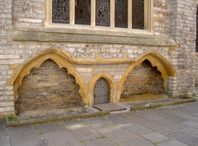
Image: © Neil Owen Taken: 5 Sep 2013
It's quite common for ground levels to rise over time but the two arches beside the doorway of St Mary's suggest a much deeper set of stoneworks.
Images are licensed for reuse under creativecommons.org/licenses/by-sa/2.0
Image Location


Leaflet Map data © OpenStreetMap
Latitude
51.127864
Longitude
-3.005125