Barley near Sedgewell Cross
Introduction
The photograph on this page of Barley near Sedgewell Cross by Derek Harper as part of the Geograph project.
The Geograph project started in 2005 with the aim of publishing, organising and preserving representative images for every square kilometre of Great Britain, Ireland and the Isle of Man.

There are currently over 7.5m images from over 14,400 individuals and you can help contribute to the project by visiting https://www.geograph.org.uk
Barley near Sedgewell Cross
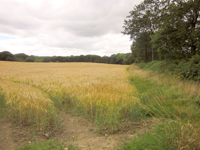
Image: © Derek Harper Taken: 9 Aug 2013
From the lane to Black Torrington. The trees along the field boundary on the right accompany a tiny stream which join a larger stream, a tributary of the Torridge, that flows among the belt of trees on the far side.
Images are licensed for reuse under creativecommons.org/licenses/by-sa/2.0
Image Location
Latitude
50.859295
Longitude
-4.190763