Former Union Workhouse, Wellington
Introduction
The photograph on this page of Former Union Workhouse, Wellington by Jaggery as part of the Geograph project.
The Geograph project started in 2005 with the aim of publishing, organising and preserving representative images for every square kilometre of Great Britain, Ireland and the Isle of Man.

There are currently over 7.5m images from over 14,400 individuals and you can help contribute to the project by visiting https://www.geograph.org.uk
Former Union Workhouse, Wellington
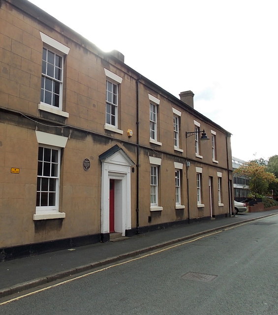
Image: © Jaggery Taken: 10 Oct 2013
The brown plaque http://www.geograph.org.uk/photo/3705356 on the wall of the Walker Street building records that this was the site of Union Workhouse from 1797-1877, then the Union Brewery and latterly part of the public library.
Images are licensed for reuse under creativecommons.org/licenses/by-sa/2.0
Image Location
Latitude
52.699583
Longitude
-2.519957