Field View near Potsgrove Lodge
Introduction
The photograph on this page of Field View near Potsgrove Lodge by Rob Farrow as part of the Geograph project.
The Geograph project started in 2005 with the aim of publishing, organising and preserving representative images for every square kilometre of Great Britain, Ireland and the Isle of Man.

There are currently over 7.5m images from over 14,400 individuals and you can help contribute to the project by visiting https://www.geograph.org.uk
Field View near Potsgrove Lodge
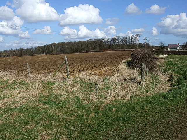
Image: © Rob Farrow Taken: 14 Mar 2007
Rich farmland here at the end of the lane past Image] as it approaches the A4012 London Road. Potsgrove Lodge can be seen on the far right while the wood in the background is "Speedwell Belt".
Images are licensed for reuse under creativecommons.org/licenses/by-sa/2.0
Image Location
Latitude
51.972761
Longitude
-0.60912