Penzance: Market Jew Street
Introduction
The photograph on this page of Penzance: Market Jew Street by Chris Downer as part of the Geograph project.
The Geograph project started in 2005 with the aim of publishing, organising and preserving representative images for every square kilometre of Great Britain, Ireland and the Isle of Man.

There are currently over 7.5m images from over 14,400 individuals and you can help contribute to the project by visiting https://www.geograph.org.uk
Penzance: Market Jew Street
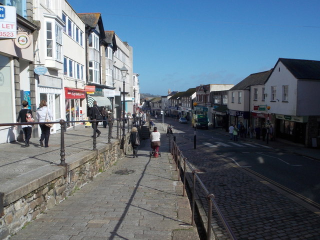
Image: © Chris Downer Taken: 16 Oct 2013
The main shopping street in the town, once part of the A30 before the days of the by-pass. The street splits into two levels passing either side of the Market House behind us (see Image) and a ramp between the two forms an intermediate third level for a short distance.
Images are licensed for reuse under creativecommons.org/licenses/by-sa/2.0
Image Location
Latitude
50.11934
Longitude
-5.535584