Buildings near the NE end of Mill Lane, Dorstone
Introduction
The photograph on this page of Buildings near the NE end of Mill Lane, Dorstone by Jaggery as part of the Geograph project.
The Geograph project started in 2005 with the aim of publishing, organising and preserving representative images for every square kilometre of Great Britain, Ireland and the Isle of Man.

There are currently over 7.5m images from over 14,400 individuals and you can help contribute to the project by visiting https://www.geograph.org.uk
Buildings near the NE end of Mill Lane, Dorstone
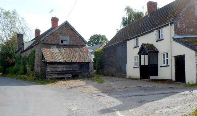
Image: © Jaggery Taken: 16 Sep 2012
The right turn for Mill Lane is in the lower right corner of the view.
Images are licensed for reuse under creativecommons.org/licenses/by-sa/2.0
Image Location
Latitude
52.068323
Longitude
-3.002184